
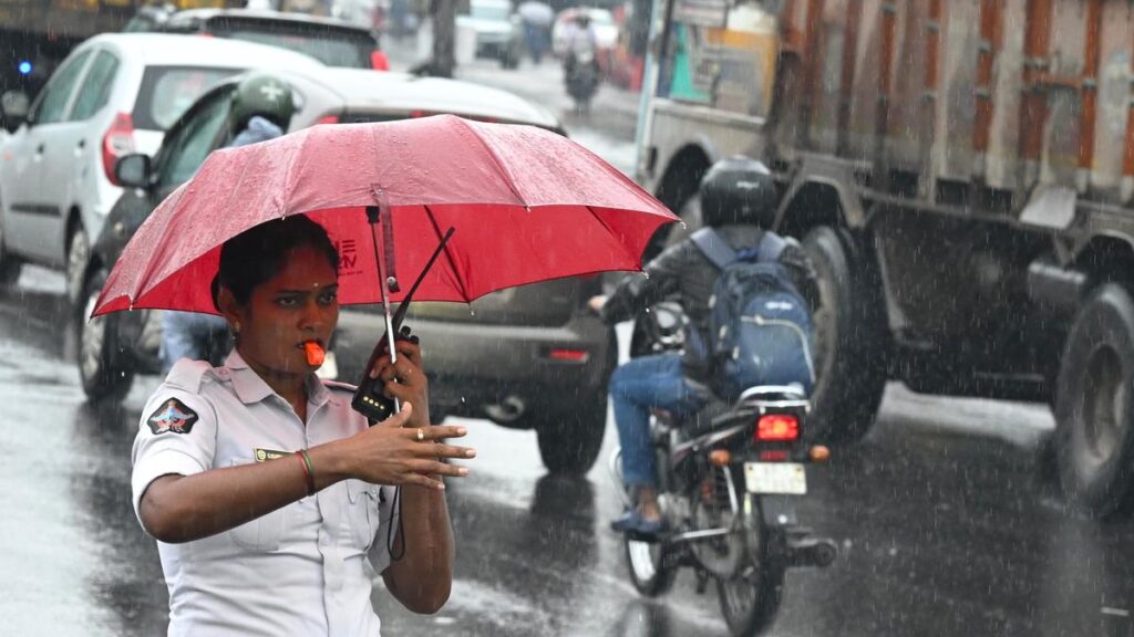

A traffic constable using umbrella while it rained, at Maddilapalem Junction in Visakhapatnam on Monday.
| Photo Credit: V. RAJU
Andhra Pradesh and Telangana have had a comparatively cooler summer in 2025 with both States experiencing ‘less severe’ hot weather conditions and the number of heatwave days declining by more than half in the coastal A.P., by around one-third in Telangana and with no heatwave in Rayalaseema sub-division.
Severe heatwave conditions had prevailed at only one station during the season at Bapatla, which sizzled at 41.7°C, with the maximum temperature above normal by 7.8°C, in combined Guntur district on April 12, 2025, says P.V. Rama Rao, a retired Director of the India Meteorological Department (IMD), who had conducted a study on “Heatwaves in Summer 2025 in A.P. and Telangana States,” by taking data from the websites of the IMD and windy.com.
The frequency of occurrence of heatwave days were 7 in Coastal AP (CAP), Nil in Rayalaseema and 6 in Telangana sub-divisions, which were against the normals of 15 in Coastal A.P., Nil to 5 in Rayalaseema and 15 to 20 days in Telangana, in a year.
The southwest monsoon advanced on May 26, i.e., 10 days in advance over CAP, 8 days in advance over Rayalaseema, and 12 days in advance over Telangana region. It had covered the entire Rayalaseema region by May 26 itself and CAP and Telangana on May 28. The cool monsoon current suppressed the hot spell from May 28. However, due to weak southwest monsoon activity over CAP, heatwave conditions revived and resurfaced in the Godavari districts for four days between June 4 and 9, says Mr. Rama Rao.
In the hot weather season of 2025, the highest maximum temperature of 45° C was recorded at Nizamabad station in Telangana on April 24, which was the highest in both the States.
However, in May 2025, not even a single station in both the States recorded heatwaves. The obvious reason was the presence of a cloud canopy and rainfall occurring on almost all days during the month. In May, large excess rainfalls occurred with 160% excess in CAP, 137% in Rayalaseema and 361% in Telangana.
The rainfall was due to synoptic features of low level cyclonic circulations and thunder showers associated with normal north-south pressure in the season, extending from Chhattisgarh to South Tamil Nadu across Telangana and Rayalaseema and its shift eastwards or westwards from normal position.
The southwest monsoon advanced over the States on May 26. Normally in the month of May, moist and relatively cool winds from south to southwesterly direction from the Bay of Bengal over CAP and also southeasterly to easterly winds flow over Rayalaseema and Telangana.
However, hot dry winds from north to northwesterly direction blow from north and central parts of India, transfer heat energy over to A.P. and Telangana, and cause a rise in day temperatures over the States. This year, the winds from the Bay of Bengal predominated and hampered normal transfer of heat from north and central parts of India over the States. This synoptic feature also added to the cumulative effect of those factors and caused a fall in maximum temperatures in May. The recorded values were normal to markedly below normal with maximum temperature departure values falling between 3 and 12°C at most places.
People in coastal areas experienced sultry weather due to high humidity and also as a result of arrest or stoppage of generation of cool sea breeze during day time due to cloudy skies.
Though southwest monsoon advanced and covered over CAP by May 28, heatwave conditions revived and resurfaced due to weak monsoon current for four days on June 4, 5, 8 and 9 in West Godavari (Narsapur area) and for a day on June 9 in East Godavari district (Tuni area).
Published – June 23, 2025 08:09 pm IST
Source:https://www.thehindu.com/news/cities/Visakhapatnam/andhra-pradesh-and-telangana-experienced-cooler-summer-in-2025-with-fewer-heatwave-days-and-early-monsoon-arrival-former-imd-director/article69727980.ece