
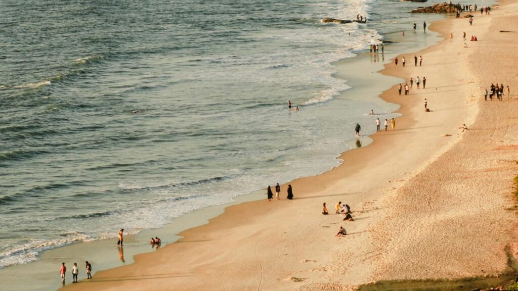
In December 2024, the Union Ministry of Home Affairs made an important announcement as part of its 2023-2024 annual report. It said the length of India’s coastline had increased from 7,516.6 km to 11,098.8 km, and that the length is also currently under review.
The 7,516.6 km figure was first recorded in the 1970s based on measurement techniques available at the time. The new revised figure wasn’t prompted by any territorial expansion through new land/island annexation or geological upheaval, like tectonic activity stretching the shores. The last coastal State to join the Union of India was Goa in 1961 and the only other State that joined after — Sikkim in 1975 — is landlocked. The enclaves India exchanged with Bangladesh in 2015 also lie deep inland.
So what changed?
The root of the discrepancy lies in geometry, in a problem called the coastline paradox. The previous estimate from the 1970s banked on maps that displayed India’s coastline at a 1:4,500,000 resolution, which is too coarse to capture intricate features like estuaries, tidal creeks, sandbars, and coastal ridges. Many island groups, particularly the Andaman & Nicobar and Lakshadweep, also hadn’t been comprehensively mapped or included.
The more recent updated measurement — performed by the National Hydrographic Office (NHO) and the Survey of India — used electronic navigation charts at a much finer scale of 1:250,000. Preparing these charts requires the use of technologies like geographic information systems, satellite altimetry, LIDAR-GPS, and drone-based imaging. The government has also said the coastline length will be revised every 10 years from 2024-2025, as per the report.
The Survey of India used highwater lines prepared by the NHO based on 2011 data on electronic navigation charts to measure the coastline. The highwater line was used as the base reference and river mouths and creeks were closed off at a fixed threshold inland. The review also included islands exposed to low tide.
But for all these advances, there is a limitation — and that comes from geometry.
The coastline as puzzle
What’s the difference between straight lines and ragged curves?
In Euclidean geometry, the length of a straight line is the shortest distance between two points at the ends of the line. Curves on the other hand are measured by their geodesic length: i.e. the length along the surface of the curve.
But what happens when the curve itself is irregular, jagged, and ever-changing the way a coastline is when it’s shaped by river mouths, creeks, delta formations, etc.?
The problem becomes harder when one attempts to draw a boundary at a river mouth: should it be marked at the ocean opening or traced further inland? Such ambiguities add to the complexity together with constant tidal fluctuations and shifting sedimentation.
This is where traditional measurement concepts break down and the choice of scale becomes decisive.
The coastline paradox
The British mathematician and physicist Lewis Fry Richardson first identified the coastline paradox in the early 1950s. His Polish-French peer Benoît Mandelbrot examined the problem mathematically in 1967 and also popularised it. Mandelbrot found that coastlines exhibit properties similar to fractals.
In a landmark paper entitled ‘How Long is the Coast of Britain?’, Mandelbrot explored why the length of Britain’s coast varied dramatically depending on the length of the measuring stick. Using different ruler sizes on a map, he found that Britain’s coast could vary from around 2,400 km to more than 3,400 km — a striking range for a fixed landmass.
Note that coastlines are not true fractals in the pure mathematical sense but display fractal-like properties. To describe fractals, scientists use the concept of fractal dimension, a number that denotes the degree of complexity a shape exhibits as one zooms into it.
For example, measuring a coastline with a 200-km-long ruler would smooth over most inlets and bends — but a 50-km ruler would detect them. At 1 km, the measurement will capture every estuary, tidal flat, and creek. So the more one refines the scale of the ruler, the longer the total coast becomes.
Hypothetically, using a measurement unit the size of a water molecule would result in a coastline length approaching infinity. This dependence on scale underscores the inherent paradox: a finite piece of geography yielding a seemingly infinite measurement in cartography.
Implications for security, fishing
The change in length is not just a mathematical curiosity or an academic pursuit. The length of India’s coastline influences maritime security plans, disaster preparedness (especially for cyclones and tsunamis), and fishing rights.
A longer coastline obviously means a longer length to protect but it also means a longer economic zone. India has 11 coastal States and two large island groups, faces regular cyclones, and is especially vulnerable to sea-level rise. Understanding the true extent of the national coast can thus help refine climate models, coastal zoning regulations, and disaster response strategies.
In the same vein, high-school geography textbooks may need to be revised as well.
The coastline paradox also reveals more than a peculiar measurement challenge: it underscores how science evolves with better tools. What once appeared to be a fixed value turns fluid when examined more closely — not because the coast moved but because our eyes sharpened. India’s redefined 11,099-km coastline is a testament to this progress.
C. Aravinda is an academic and public health physician. The views expressed are personal.
Published – May 26, 2025 05:30 am IST